
Lafayette ZIP Service Areas
The official USPS Sorting and Delivery Center list ties thirteen ZIPs to the Lafayette SDC at 3450 South Street. That list describes postal service, not legal Lafayette boundaries. Some rows are central Lafayette delivery zones, one is strongly associated with West Lafayette and Purdue, and several serve outlying Tippecanoe communities. The safest Lafayette ZIP code directory therefore labels each code by the limited fact the USPS source supports and sends each exact address back through the USPS lookup.
| ZIP Code | Areas Covered | Post Office | Notes |
|---|---|---|---|
| 47901 | Central Lafayette delivery | Lafayette SDC network | Verify the exact street and municipal line. |
| 47903, 47904 | Lafayette delivery areas | Lafayette SDC network | Postal city is not a boundary finding. |
| 47905 | Lafayette and outlying delivery | Lafayette SDC | The SDC itself uses this ZIP. |
| 47906 | West Lafayette and Purdue context | Lafayette SDC network | Do not treat it as automatic Lafayette city. |
| 47907, 47909 | Lafayette-area delivery | Lafayette SDC network | Campus, city, and county context need address checks. |
| 47920, 47923, 47930 | Outlying Tippecanoe service | Lafayette SDC network | May be rural or another community. |
| 47955, 47970, 47992 | Surrounding service areas | Lafayette SDC network | Confirm the town and route through USPS. |
No official source inspected identified a PO-box-only or unique ZIP for Lafayette, so none should be inferred. Nor does the SDC list prove that every listed code lies within Tippecanoe County. Use the table as a starting set, then verify the exact address with USPS and the municipal location with Tippecanoe GIS.
Verify Lafayette ZIPs With USPS
The USPS ZIP Code Lookup has three modes. By Address requires a street and accepts an optional company plus city and state. By City and State lists delivery ZIP associations. By ZIP returns the linked city and delivery information. The address mode is the strongest choice because it can standardize the delivery line and return ZIP+4 where available. USPS also warns that a correct postal result does not prove that a person or company occupies the site.
| USPS mode | Fields | Best Lafayette use |
|---|---|---|
| By Address | Company optional; street required; city and state | Normalize one delivery address and retrieve ZIP or ZIP+4. |
| By City and State | City; state | Find postal ZIP associations without assuming city limits. |
| By ZIP Code | ZIP | Check the postal city and delivery association for a known code. |
The USPS AIS Viewer adds official address-quality tools and is updated monthly, though data cannot be exported from the viewer. The image below shows the AIS boundary interface used to inspect postal geography.
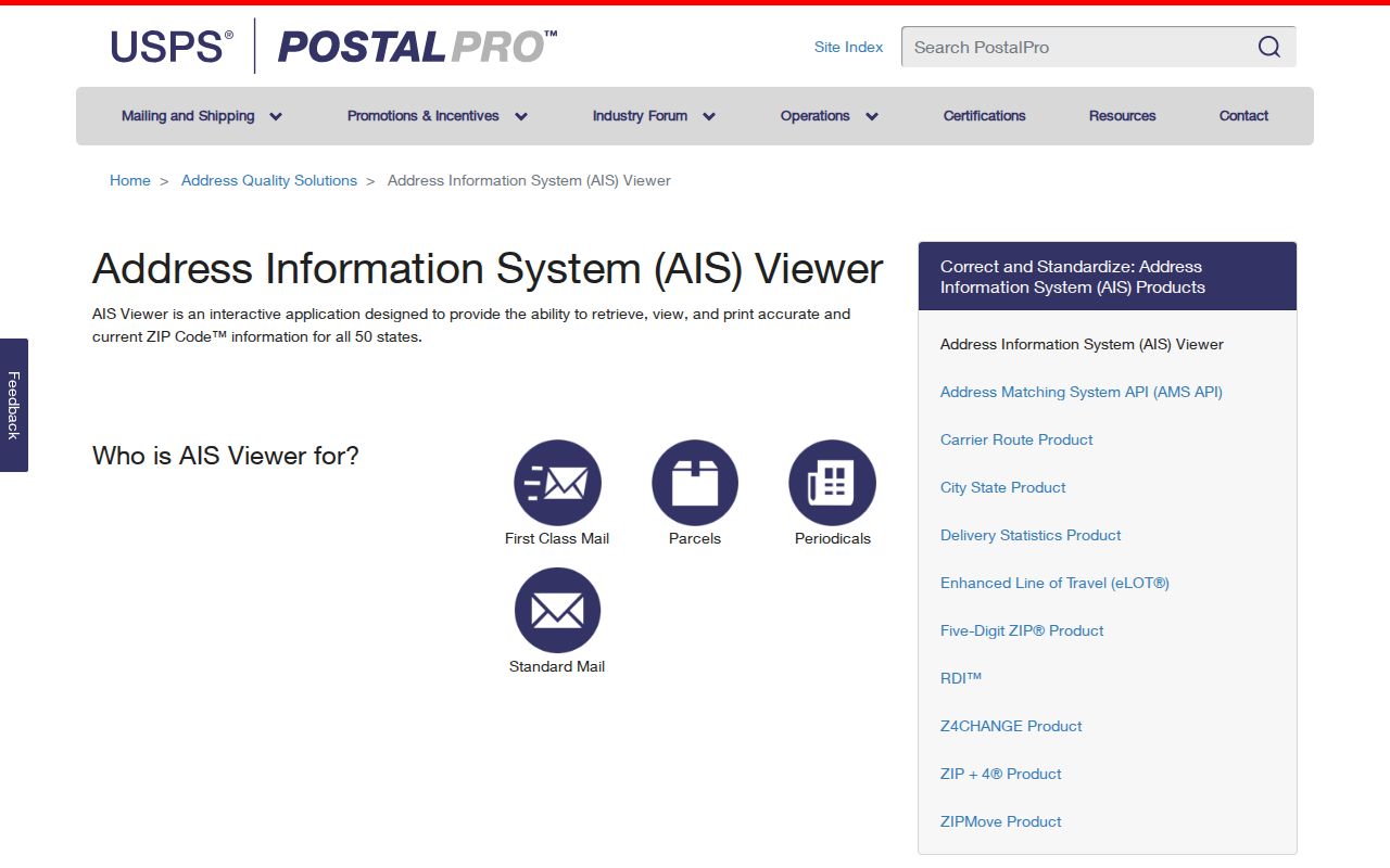
The map is postal evidence. County GIS remains the source for parcels, townships, precincts, and incorporated-city context.
Search Lafayette Records by ZIP
Most Lafayette public systems do not offer a ZIP-wide resident list. Instead, move from postal geography to a specific official record. Tippecanoe GIS includes a ZIP Codes layer beside parcels, address points, precincts, townships, subdivisions, and incorporated cities. The Treasurer form accepts a property address but has no inspected ZIP field. Indiana business and license searches do accept ZIP filters, while the one-person voter portal does not.
- Enter the full street in USPS By Address. Save the standardized city, state, ZIP, and ZIP+4 shown.
- Search the same address in Tippecanoe GIS. Record the parcel, ZIP layer, precinct, subdivision, township, and incorporated-city layer.
- Choose the matching record. For a parcel question, move to Treasurer or Beacon; for a business or credential, use the official state ZIP filter.
- Compare the postal city with the mapped municipality. Keep both when they differ, since each answers a different question.
- Narrow a lawful name search to one address or entity. Do not claim a ZIP-wide list of Lafayette residents.
Once a postal area narrows to a named road, the Lafayette street directory follows the address and parcel chain without repeating ZIP-level assumptions.
Map Lafayette ZIP Record Layers
The county GIS search menu includes All, Parcel Number, Address, Name, Address Points, County Roads, Subdivisions, Section Township Range, and Precincts. Choose Address first and select an autocomplete result. The parcel popup can link onward to Beacon and a PDF, while the layer list places the site against ZIP codes, incorporated cities, townships, precincts, subdivisions, zoning, schools, and county projects.
These overlays should not be merged into one label. A parcel may have a Lafayette postal city, fall in a named township, sit in a distinct precinct, and lie outside the municipal boundary. County GIS calls the map reference data and gives no warranty. Its public maps also should not expose owner names or sensitive financial data. Check parcel or tax details through the linked custodian before treating a mapped boundary as final.
Note: Print or share the GIS map state so later searches can be tied to the same layers and date.
Lafayette ZIP 47906 Needs Context
The USPS service list places 47906 within the Lafayette SDC network, but local geography associates it with West Lafayette and Purdue. That makes it a clear example of why a delivery network is not a city boundary. Search the exact address in USPS, then turn on Tippecanoe GIS's incorporated-city layer. Preserve West Lafayette when the local map places the parcel there, even if a broad postal list appears under a Lafayette heading.
The same rule applies to campus, rural routes, and outlying Tippecanoe addresses. Postal routing can span civic lines. City departments, parcel offices, election precincts, and historical collections organize records with their own boundaries, so the correct custodian follows the mapped jurisdiction rather than the ZIP code alone.
Lafayette ZIP Filters by Record
The Indiana Business Search offers an advanced ZIP field along with business name, registered agent, governing person, status, street, and city. It can find an entity or registered address associated with a Lafayette-area ZIP. It cannot prove that the agent or owner lives there. Indiana's Professional License Verification also has ZIP, city, county, profession, name, license number, and status fields. That result describes a credential and its listed geography.
Property and voter tools have firmer limits. The Treasurer search has Dist#, Parcel #, last name, tax year, and property address, but no verified ZIP field. Beacon's live controls were not inspectable during research, so no ZIP filter should be promised. Indiana voter status asks for first name, last name, birth date, and county. The broader voter file has a restricted VRG-24 route and must never be described as an open ZIP directory.
Read Lafayette Postal Terms
Postal terms describe how mail is sorted and delivered. They do not automatically match a city, subdivision, or parcel. Keeping the terms distinct prevents a Lafayette ZIP code directory from overstating what USPS data can show.
- ZIP Code
- A five-digit USPS delivery area, not a municipal boundary.
- ZIP+4
- The five-digit ZIP plus four digits that narrow mail to a smaller delivery segment.
- PO-box ZIP
- A code used mainly or only for post-office boxes. No Lafayette example was verified in the research.
- Unique ZIP
- A code assigned to one high-volume organization. No Lafayette example was verified.
- Carrier route
- The path a postal carrier follows within a delivery area, which is more detailed than a five-digit ZIP.
Lafayette ZIPs Versus City Limits
USPS explains that ZIPs follow delivery routes and mail volume, not incorporated borders. Tippecanoe County adds thirteen township lines, precincts, schools, subdivisions, neighborhoods, and about 66,000 real-estate parcels across roughly 500 square miles. Those layers overlap without sharing one name. A Lafayette postal label can therefore coexist with a county or township location that calls for a different office or map.
Boundary rule. Use USPS for the delivery address and Tippecanoe GIS for the parcel and municipal location. Neither result proves who occupies the property.
Historical research adds another mismatch. Railroad relocation ran from the 1970s through 2003 and changed street context. Portions of county roads were renamed Veterans Memorial Parkway in 2010. Old directories may use former place abbreviations or streets that do not line up with current postal data. Record the old wording, then create a dated crosswalk through city history, archival maps, and the modern parcel viewer.
The USPS ZIP basics page shown below explains why postal codes should not be treated as city borders.
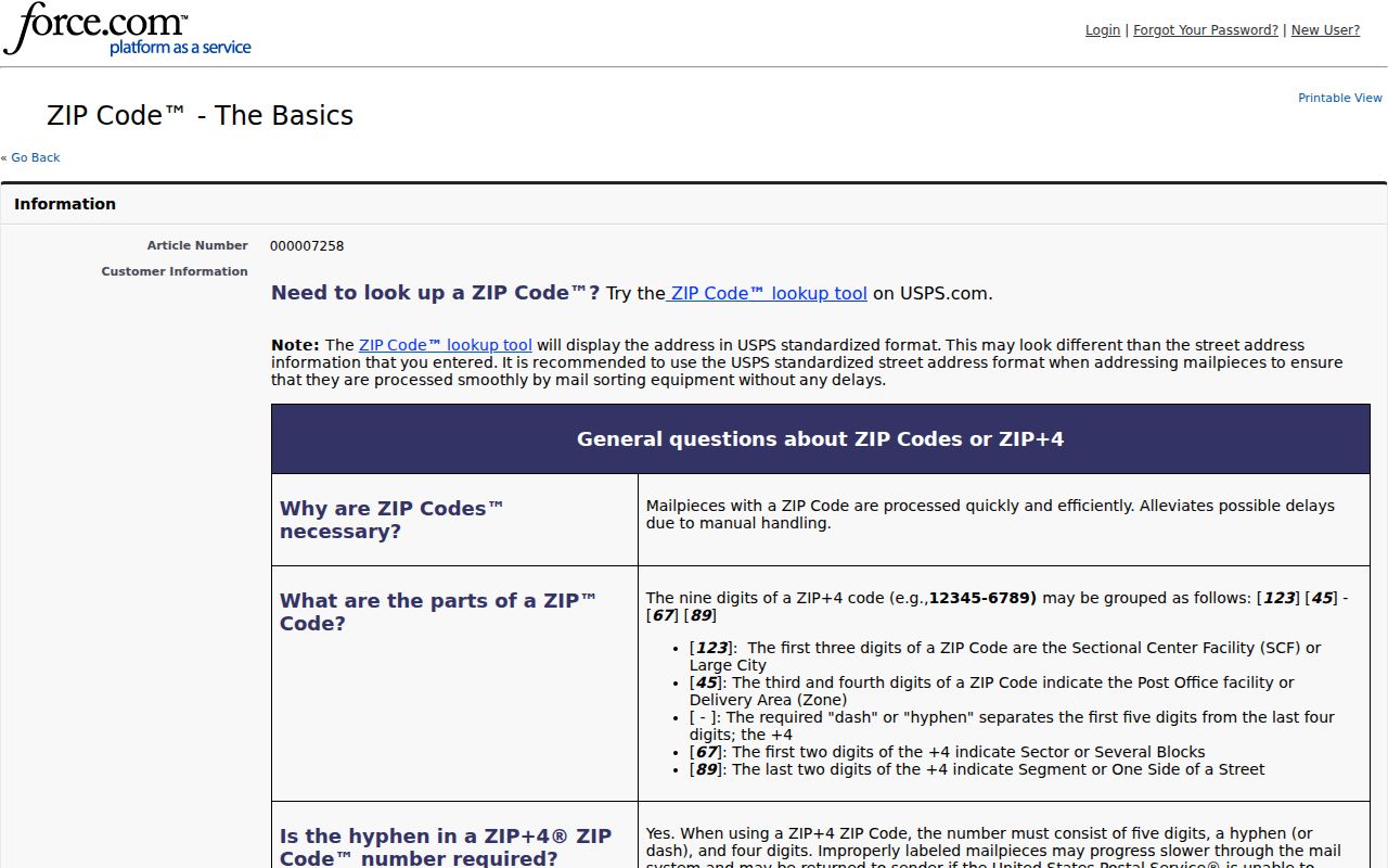
That distinction is the core safeguard for reading every Lafayette postal record, map layer, and official search result.