
Sources for Lafayette Neighbors
Official records describe parcels and public roles around a Lafayette address, not a complete roster of people behind each door. GIS shows the land pattern; assessment and tax systems identify recorded owner names; voter tools confirm one known person under controlled rules; civic pages describe public groups and boundaries.
| Source | What It Shows About a Block | Access |
|---|---|---|
| Tippecanoe GIS viewer | Adjacent parcels, address points, owner display, layers | Public web viewer |
| Beacon and Treasurer records | Assessment and tax-account context | Online or county public computer |
| Indiana voter status lookup | One known voter status and polling details | Controlled statewide lookup |
| City neighborhood pages | Public group names and civic contacts, not membership rolls | Public pages and city contacts |
| TCHA criss-cross directories | Historic address-to-occupant snapshots | TCHA and TCPL |
An owner name is not proof of a current household. The parcel may be vacant, commercial, owned by an entity, or mailed to another address. Label the source, date, and role for each name so a block map does not become a false resident list.
Use a compact worksheet for the immediate block. Record the parcel number, situs address, displayed owner role, source date, and any public neighborhood label. Leave the occupant field blank unless a dated authoritative source supports it. That simple rule prevents a tax mailing contact or business entity from being described as a Lafayette neighbor.
Map Lafayette Neighbors in GIS
The county GIS viewer can search an address, address point, parcel number, owner name, subdivision, county road, section-township-range, or precinct. Keep the parcel layer on, zoom to the immediate block, and click only the touching lots. The popup, attribute table, measurement tools, and print/share functions help preserve what was visible on the search date.
GIS also accepts custom map or list requests by web, email, fax, or in person. The county says custom work starts at $23.50 and can use a requested distance from a feature. Call GIS at 765-423-9357 before assuming a custom owner list answers an occupancy question.
Lafayette Neighbor Parcel Roles
An adjacent lot is not automatically a neighboring household. It may be vacant, commercial, held by an entity, or owned by someone whose mail goes elsewhere. A homestead deduction can be a clue in tax records, but deductions are administered through the Auditor and should not be turned into a claim about every resident.
Compare the parcel number, situs address, owner display, and tax mailing address. Label each field. A recorded owner is evidence about land, while a listed occupant in a dated directory is evidence about a listing. Neither supplies a live household roster.
Lafayette Neighbors and Civic Pages
The City of Lafayette Area Neighborhoods page supplies public civic context and names neighborhood groups. It does not publish a complete membership list.
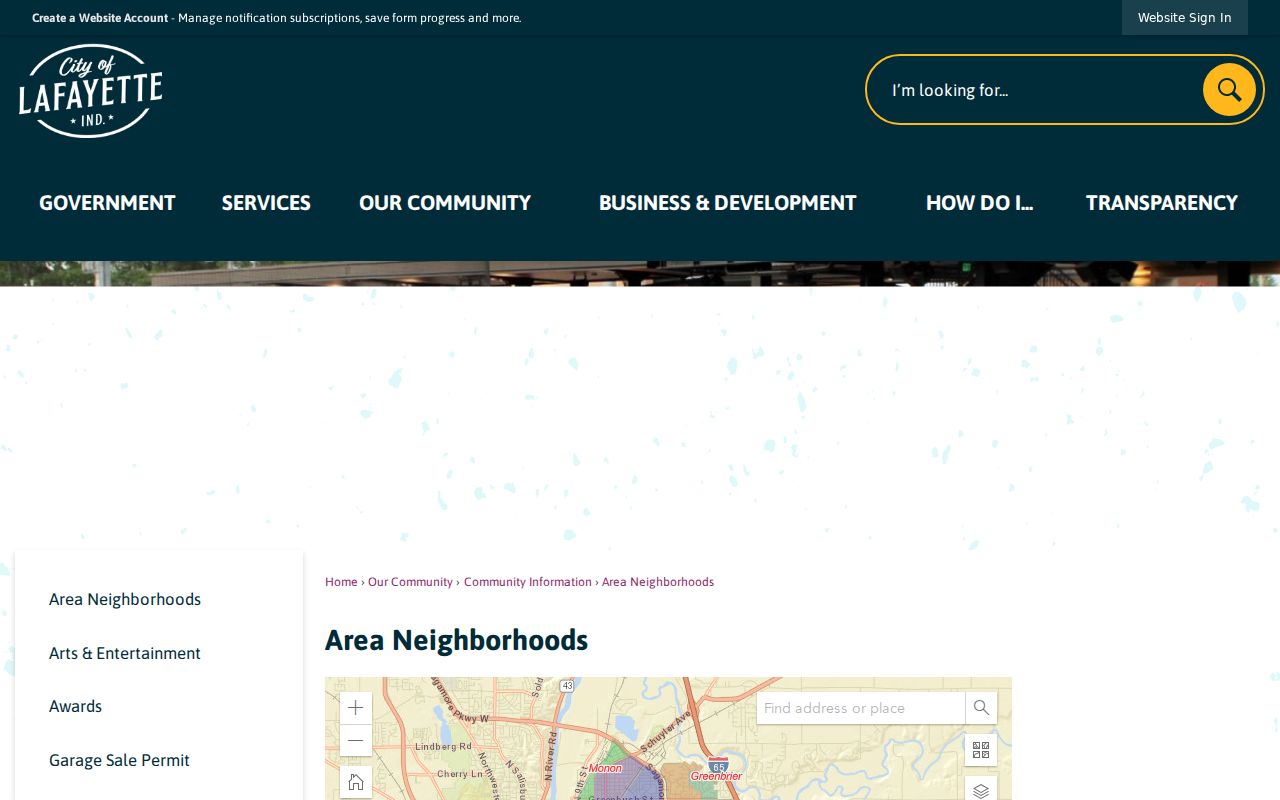
Use city pages for boundaries, meetings, and public contacts, then keep private membership apart from parcel evidence. Named areas in local materials include Ninth Street Hill, Centennial, Historic Jefferson, Wabash, Lincoln, and New Chauncey.
Ninth Street Hill Records
Ninth Street Hill shows why neighborhood history belongs beside a parcel map. The official state marker describes an 1825 plat, large estates of the 1850s and 1860s, streetcar growth in the 1880s, an association formed in 1986, and National Register listing in 1997.
Centennial has different documentary bounds: the X District describes sixteen blocks from Ferry north to Union and Fourth east to Ninth, platted in 1829 and shaped by canal and rail activity. A neighborhood label adds time and place context. It does not identify who lives on each parcel today.
Walk Lafayette Neighboring Parcels
Start with a known address in the county GIS viewer. Keep the parcel layer visible and move only to touching lots or the immediate block. The popup and attribute table can provide map context, but each owner display still needs a tax or assessment cross-check.
- Search the known address in the Tippecanoe County GIS viewer and confirm its parcel.]
- Click each touching parcel and record only the displayed owner role, parcel number, and situs address.
- Compare Beacon or Treasurer data, keeping mailing and physical addresses distinct.
- For a full named-street chain, use the separate street-directory method.
The Lafayette street directory covers the broader street-by-street record chain. A neighbors search should remain focused on adjacent parcels and the civic context of one block.
Voter Limits for Lafayette Neighbors
The Indiana voter status portal checks one known voter. It requires first name, last name, date of birth, and county, then can return registration and polling information. It is not a tool for producing everyone registered on a block.
Requests for computerized voter data use the state's VRG-24 process and carry eligibility, purpose, and use limits. Tippecanoe Election Board is at 20 N 3rd Street, with weekday hours from 8:00 a.m. to 4:30 p.m. and a noon-to-1 closure. Address Confidentiality Program participants can have voter records flagged confidential.
Historic Lafayette Neighbors
TCHA's criss-cross directories can reconstruct a past block from house numbers, occupants, and telephone entries. Runs include 1927-28, 1929-30, and many later editions through 2007, with gaps. Search nearby numbers in the same volume, then compare the block in the edition before and after it.
Older books may use Chauncey, Elston, Linnwood, rural routes, or combined Lafayette and West Lafayette coverage. Cite the exact volume and page. Directory evidence describes a dated listing, not ownership or current residence.
Township Context for Lafayette Neighbors
The Tippecanoe County township information page adds another public layer around a Lafayette address.
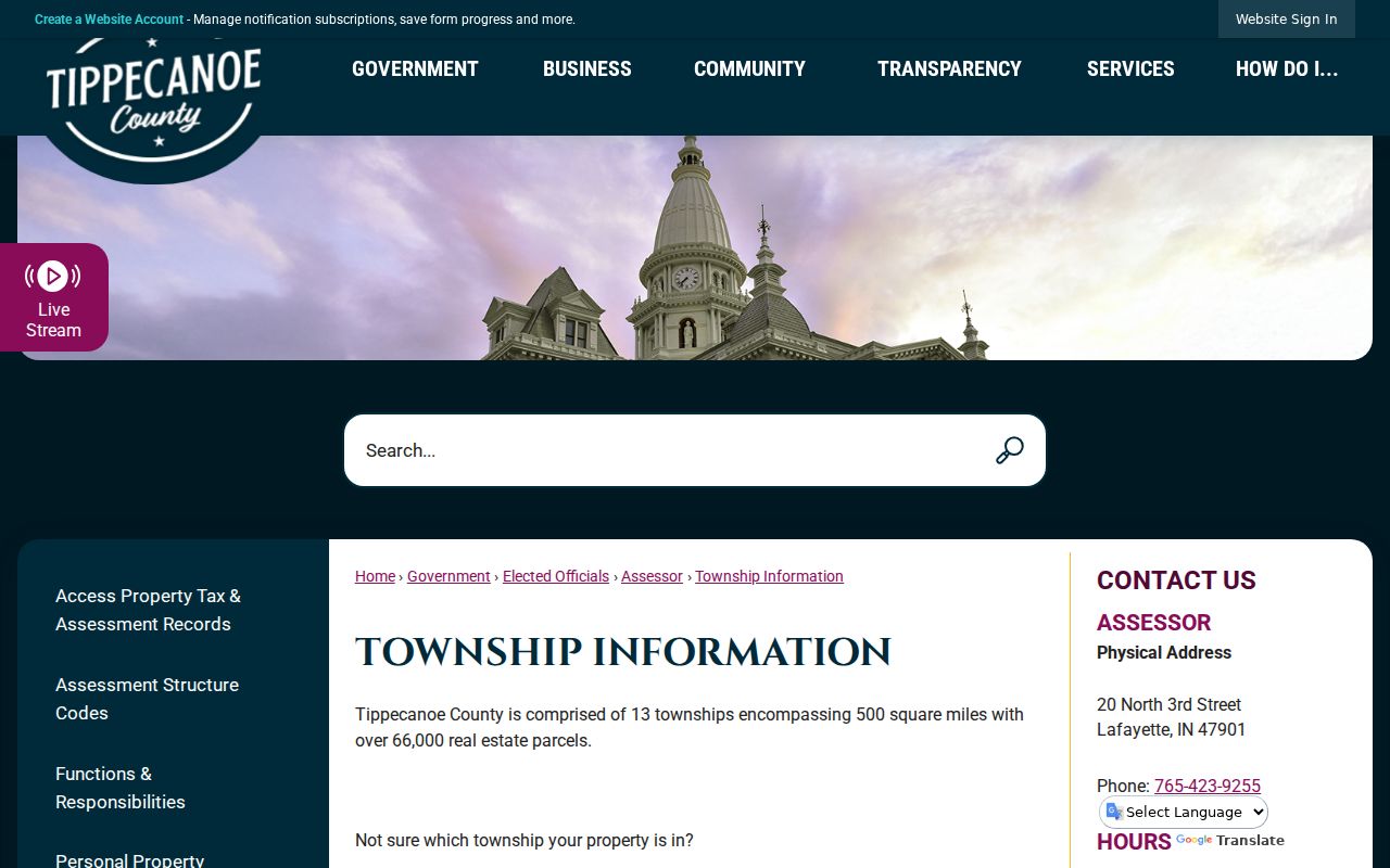
Township, precinct, subdivision, neighborhood, ZIP, and city limits answer different questions. Record each label from its proper authority instead of treating one boundary as a resident directory.
Official and Commercial Block Data
Official parcel, tax, voter, and city pages identify their custodian and describe the record's purpose. Commercial neighbor tools may merge old addresses, inferred relatives, and licensed data without showing when each fact changed.
| Source type | Strength | Main limit |
|---|---|---|
| County parcel and tax records | Dated owner and parcel evidence | Not a household roster |
| Controlled voter lookup | Confirms one known person's status | Not a block search |
| Commercial category | May surface leads | Mixed dates and unclear roles |
Prefer the source closest to the fact. Verify names and dates through the custodian before drawing any conclusion about Lafayette neighbors.
Privacy for Lafayette Neighbor Lookups
Renters, household members, utility customers, and delivery data are not open block directories. Indiana voter status search requires a known first name, last name, date of birth, and county. The Address Confidentiality Program can shield a participant and flag a voter record confidential.
Shared surnames, remote mailing addresses, and old directory listings are weak grounds for a household claim. Date each source and distinguish a person from a trust, company, public body, or other entity. Corrections belong with the Assessor, Auditor, Recorder, Election Board, or other office that maintains the record.
A safe neighbor lookup stops after answering the parcel, boundary, civic-contact, or historical question that prompted it. When a record is not online, an Indiana APRA request should name the record, address, date span, and preferred format rather than demand all data tied to a block.
Lawful use. [1-2 sentences - neighbor lookups in Lafayette are for getting to know the block, reconnecting, and personal safety awareness; using them to watch, harass, or intimidate anyone is a crime under Indiana law.]